Crop Health Monitoring
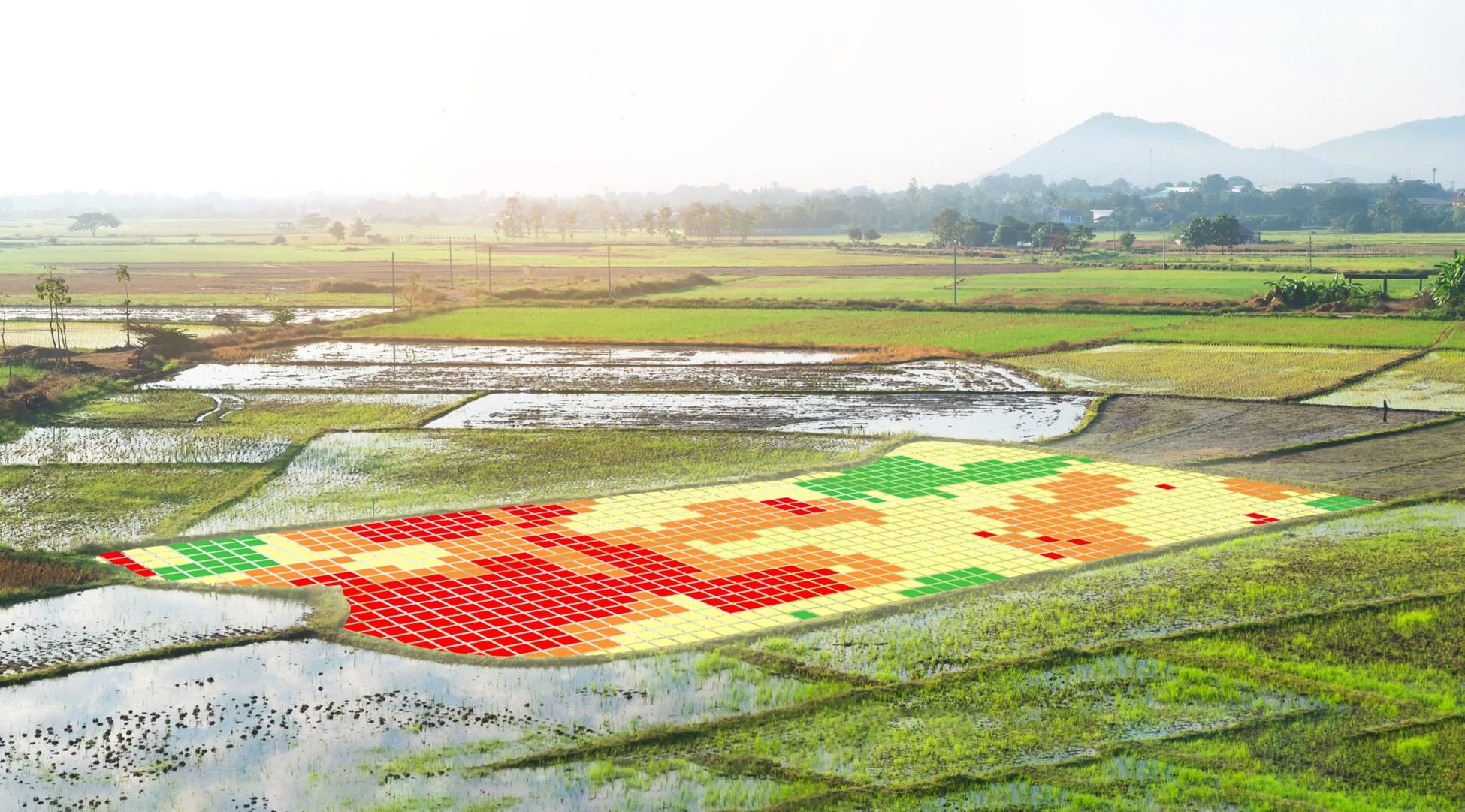
Multi-spectral and thermal analysis surfaces disease, nutrient deficiency, and water stress before symptoms appear at ground level.
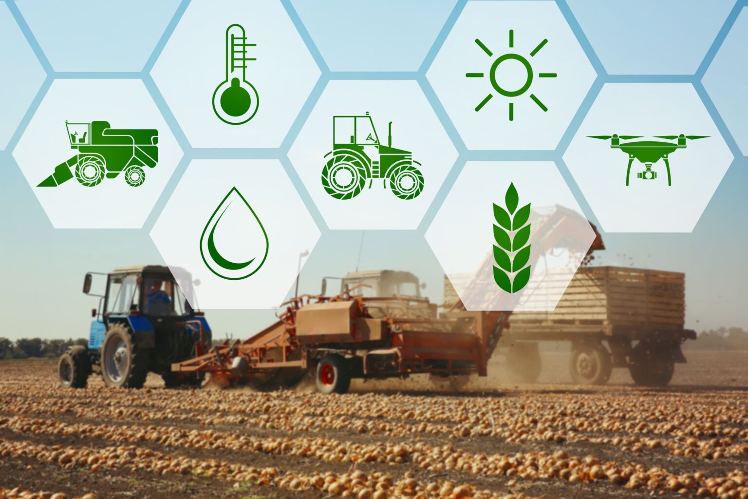
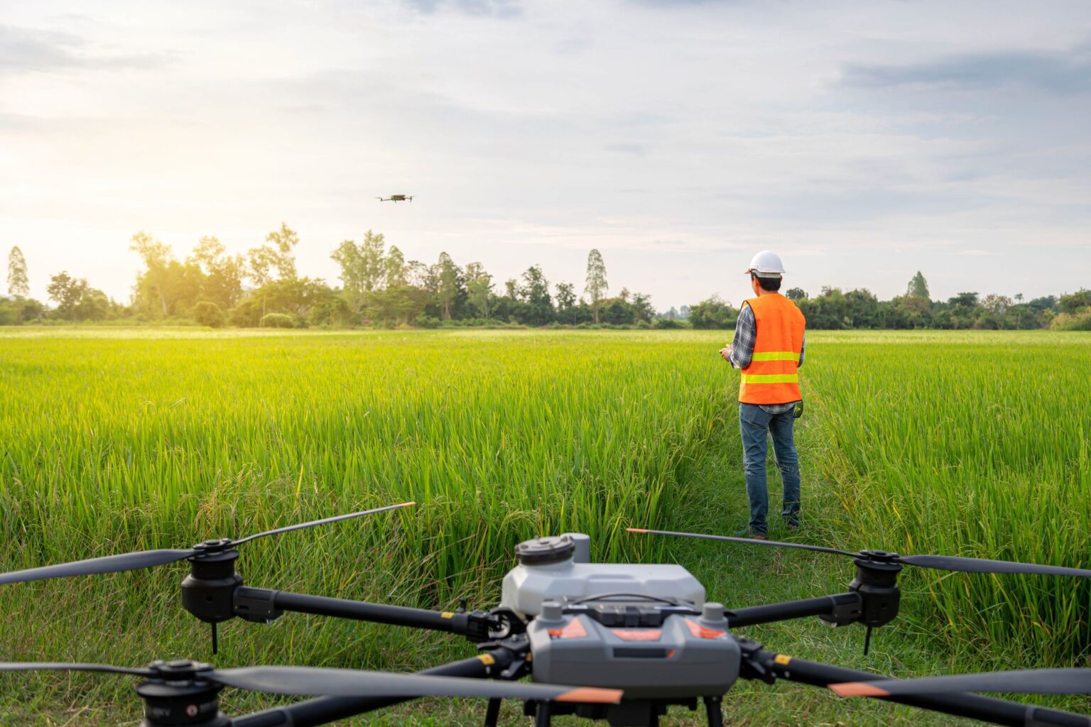
calonias integrates drone spraying, crop monitoring, seeding, irrigation insight, and field mapping into one practical operating model. The result is faster decisions, lower input waste, safer field execution, and more reliable treatment across terrain where traditional methods slow down.
Traditional farming often reacts after problems become visible. Drone-based agriculture services reverse that model by revealing field conditions earlier, narrowing treatment zones, and translating raw aerial data into action before losses spread. This makes the website more useful when it explains both the service categories and the actual business outcomes behind them.
Multi-spectral and thermal analysis surfaces disease, nutrient deficiency, and water stress before symptoms appear at ground level.
Precision delivery systems apply chemicals, nutrients, and granular inputs only where field conditions justify treatment.
Photogrammetry, GIS layering, and thermal mapping turn field variation into practical irrigation and fertility decisions.
Programs adapt from small specialty farms to large agribusiness acreage without relying on multiple disconnected vendors.
The business research adds the realism the site was missing: rising input costs, shrinking rural labor, weather volatility, field access constraints, and the need to reduce water and chemical waste while keeping coverage fast.
Manual scouting, spraying, and counting take time that many agricultural operations no longer have during critical crop windows.
Blanket treatment programs often over-apply water, fertilizer, or crop protection products to areas that do not need intervention.
Wet ground, steep slopes, orchards, vineyards, paddies, and fragmented parcels reduce the efficiency of conventional equipment.
Disease, pest spread, and irrigation imbalance often become expensive only because they are discovered too late from the ground.
The source business notes contain numbers that deserve front-page visibility because they immediately explain efficiency, safety, and sustainability.
Single-drone daily field coverage outpaces manual application by a wide margin.
Spraying speed supports narrow weather windows and faster treatment response.
Application efficiency can dramatically outperform conventional high-volume spray methods.
Automated monitoring also supports livestock and large-property management.
A comparison block helps prospects self-qualify faster by showing the operational gap between manual or blanket field methods and drone-led precision programs.
| Category | Traditional Approach | Drone Service Approach |
|---|---|---|
| Issue Detection | Problems are often found only after visible spread during manual scouting. | Multi-spectral and thermal review identify stress, disease, and irrigation imbalance earlier. |
| Input Use | Blanket application can waste chemicals, fertilizer, and water across unaffected zones. | Variable-rate targeting helps reduce unnecessary input volume and environmental runoff. |
| Field Access | Wet soil, steep slopes, orchards, and fragmented parcels slow or limit machinery access. | Aircraft can operate where ground equipment becomes inefficient or damaging to soil structure. |
| Labor Demand | Manual spraying, counting, and repeated field checks consume valuable labor hours. | Automated coverage and aerial monitoring reduce repetitive field labor during narrow windows. |
| Decision Speed | Data collection, interpretation, and treatment changes are often delayed or inconsistent. | Field captures are processed into maps and recommendations that support faster action. |
One of the most useful additions from the business material is a clearer service lifecycle. It helps prospects understand that this is not only about flying a drone, but about planning, data handling, and ongoing support.
Typical deliverables include processed maps, prescription recommendations, field condition summaries, and guidance for follow-up treatment or monitoring cycles.
Align acreage, crop type, terrain constraints, and business priorities before launch planning begins.
Define the collection pattern, service objective, and treatment or monitoring output expected from the project.
Deploy aircraft systematically for imagery, spraying, seeding, counting, or field condition analysis.
Translate field captures into maps, reports, and action-ready recommendations that operations teams can actually use.
Repeat monitoring cycles, extend acreage coverage, and integrate findings into a broader precision agriculture program.
Instead of only naming generic services, the homepage now highlights the environments and business cases where drone programs become especially valuable.
Suitable for fast scouting, variable-rate intervention, irrigation adjustment, and yield-risk monitoring over large areas.
Drone access is particularly useful where slopes, row spacing, or wet conditions make ground equipment inefficient.
GPS-guided seeding enables rapid planting in hard-to-reach terrain and after storm or flood disruption.
Thermal and GPS-based surveying supports herd location, counting, anomaly detection, and after-dark search activity.
These questions address the most common concerns prospects usually have before they contact a service provider.
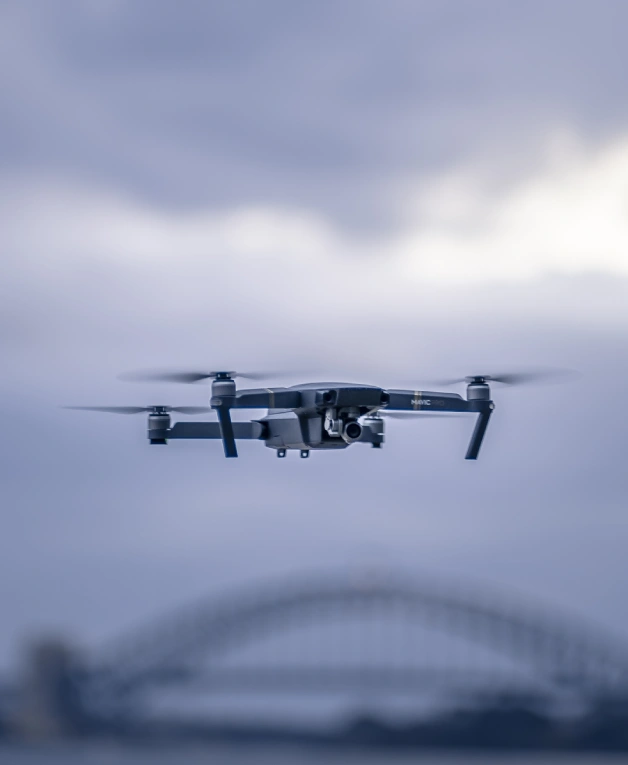
The company focuses on precision ag-tech, UAV operations, and service delivery programs that connect autonomous flight, multispectral analysis, and on-site crop treatment into one accountable workflow.
Crambilias Calonias INC
312 WALNUT ST STE 1600
CINCINNATI, OH 45202
Enterprise clients receive sourcing guidance, field readiness planning, support coordination, and a smaller site structure that still preserves the operational depth buyers expect from an ag-tech partner.
If the goal is faster coverage, lower input waste, earlier detection, or more consistent field execution, the next step is not another generic brochure. It is a project scope built around acreage, crop type, terrain constraints, and the operational outcome you want to improve first.